


1 内容简介
如何利用 POI(Points-of-interest,兴趣点)数据检测土地利用分类?
城市土地利用信息反映着社会经济功能和活动,是城市规划和区域管理的重要基础。POI 数据反映了区域的社会经济属性,与土地利用信息密切相关。我们将基于和鲸ModelWhale平台,以深圳市为例,基于深度学习和机器学习技术,深入探索兴趣点数据的采集、处理与土地利用聚类分析。希望你可以通过本案例的学习和作业实践,初步掌握 POI 数据的获取、向量化方法及其聚类、可视化方法。
2 大纲
2.1 主要内容
- 兴趣点爬虫和实现 (API):如何基于开放的百度 API 接口,爬取 2020 年深圳市兴趣点数据。
- 兴趣点的坐标转换、分析和处理:主要包括对原始兴趣点数据进行由WGS84 坐标系到百度坐标系的坐标转换方法以及兴趣点的数据清洗及前期预处理工作。
- 基于兴趣点的土地利用分类:基于Word2Vec、Place2Vec等模型的 POI 向量化学习,以及基于 POI 向量的土地利用地块聚类和分析。
2.2 作业 - 基于百度地图API接口,爬取百度地图深圳市‘公司企业’类别的POI数据。
- 基于已进行数据清洗的深圳市2020年百度POI数据,利用Word2Vec模型训练出各类别POI向量,并进行聚类以及可视化显示。
3 参与方式 - 注册和鲸账号


根据提示完成四步注册。
2. 报名活动
报名链接:
https://www.heywhale.com/home/competition/62de53410bbb187a397cbe76/content/3
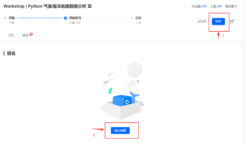
点击报名,然后根据提示验证邮箱。
3. 熟悉操作流程
参与步骤流程图链接:
https://www.heywhale.com/org/meteoda/competition/forum/62e0deea0bbb187a39853818
课程教案链接:
https://www.heywhale.com/u/9aa5c6 (报名后方可访问)
4 参考文献
Huang, W., Cui, L., Chen, M., Zhang, D., & Yao, Y. (2022). Estimating urban functional distributions with semantics preserved POI embedding. International Journal of Geographical Information Science, 1-26.(Inside Website)
Zhang, J., Li, X., Yao, Y., Hong, Y., He, J., Jiang, Z., & Sun, J. (2021). The Traj2Vec model to quantify residents’ spatial trajectories and estimate the proportions of urban land-use types. International Journal of Geographical Information Science, 35(1), 193-211.(Inside Website)
Yao, Y., Li, X., Liu, X., Liu, P., Liang, Z., Zhang, J., & Mai, K. (2017). Sensing spatial distribution of urban land use by integrating points-of-interest and Google Word2Vec model. International Journal of Geographical Information Science, 31(4), 825-848.(Inside Website)
Zhai, W., Bai, X., Shi, Y., Han, Y., Peng, Z. R., & Gu, C. (2019). Beyond Word2vec: An approach for urban functional region extraction and identification by combining Place2vec and POIs. Computers, environment and urban systems, 74, 1-12.
Q.E.D.