


Title: Evaluating geospatial context information for travel mode detection
Abstract
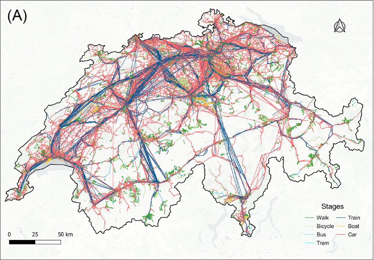
Detecting travel modes from global navigation satellite system (GNSS) trajectories is essential for understanding individual travel behavior and a prerequisite for achieving sustainable transport systems. While studies have acknowledged the benefits of incorporating geospatial context information into travel mode detection models, few have summarized context modeling approaches and analyzed the significance of these context features, hindering the development of an efficient model. Here, we identify context representations from related work and propose an analytical pipeline to assess the contribution of geospatial context information for travel mode detection based on a random forest model and the SHapley Additive exPlanation (SHAP) method. Through experiments on a large-scale GNSS tracking dataset, we report that features describing relationships with infrastructure networks, such as the distance to the railway or road network, significantly contribute to the model's prediction. Moreover, features related to the geospatial point entities help identify public transport travel, but most land-use and land-cover features barely contribute to the task. We finally reveal that geospatial contexts have distinct contributions in identifying different travel modes, providing insights into selecting appropriate context information and modeling approaches. The results from this study enhance our understanding of the relationship between movement and geospatial context and guide the implementation of effective and efficient transport mode detection models.
Keywords
Travel mode detection;
GNSS tracking data;
Geospatial context information;
Random forest;
Feature attribution
Full Text Download
Journal of Transport Geography
Software Download
Travel Mode Detection Software Considering Geospatial Context Information (Internal Link)
Q.E.D.